Travel
Hurricane Lee Strengthens Into ‘Dangerous’ Category 5 Storm

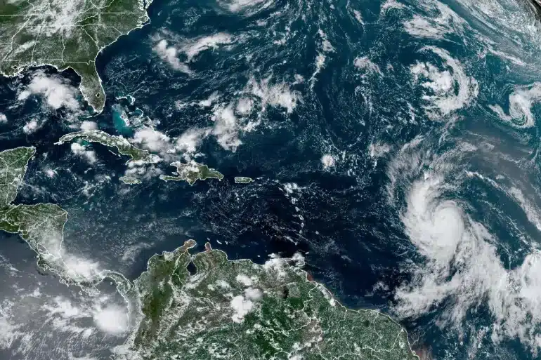
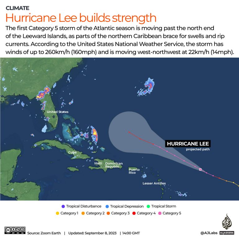
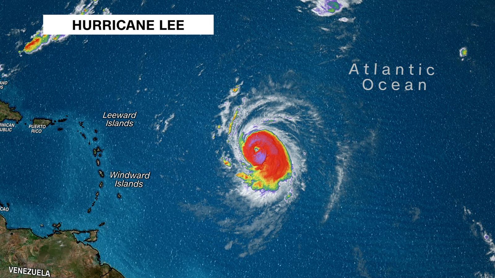
Hurricane Lee has strengthened to become the Atlantic season’s first Category 5 storm, with communities in the northern Caribbean bracing for swells and rip currents.
According to the National Weather Service in the United States, Lee was located around 1,015km (630 miles) east of the northern Leeward Islands on Friday morning, with gusts of up to 270km/h (165 miles per hour).
According to the agency, the storm was traveling west-northwest at 22km/h (14mph).
The National Hurricane Centre (NHC) in Miami said late Thursday that Lee has strengthened to a “dangerous” Category 5 hurricane.
In a Friday morning advisory, the National Hurricane Centre stated that hurricane-fueled seas would reach sections of the Lesser Antilles later in the day.
The swells are forecast to strike the British and US Virgin Islands, Puerto Rico, Hispaniola, Turks and Caicos, Bahamas, and Bermuda at the weekend.
Hurricane Lee has strengthened to become the Atlantic season’s first Category 5 storm.
“These swells are likely to create dangerous surf and rip current conditions.” “Dangerous surf and rip currents are expected to begin along most of the US East Coast on Sunday,” according to the agency.
According to the National Hurricane Centre, the storm will remain a major hurricane until next week before slowing “considerably” across the southern Atlantic.
On Thursday, US President Joe Biden was briefed on the hurricane’s new path and the Federal Emergency Management Agency’s (FEMA) preparations.
According to the White House, FEMA has deployed undisclosed assets to Puerto Rico and the US Virgin Islands.
“We will see waves between 10 and 15 feet [three and five metres], so we don’t want anyone on the beaches,” said Ernesto Morales of the National Weather Service in San Juan, Puerto Rico.
Lee is the 12th named storm of the Atlantic hurricane season, which spans from June 1 to November 30, with the peak occurring in September.
SOURCE – (AJ)


